



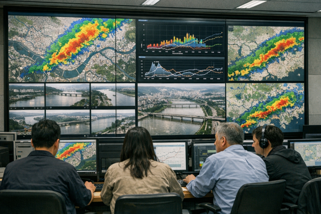
New real-time detection technology developed by the Korea Institute of Civil Engineering and Building Technology will be integrated into the Urban Flood Forecasting Platform operated by the Han River Flood Control Office. The institute announced that its system, designed to identify quasi-stationary linear rainbands and sudden localized torrential rainfall, will feed into operational forecasting tools used for urban flood management in South Korea.
The detection capability targets two hazardous rainfall patterns: persistent, narrow rainbands that linger over areas and abrupt, highly localized downpours that can overwhelm drainage systems. By recognizing these signatures in real time, the platform is expected to receive earlier and more detailed indications of where extreme rainfall is developing, which is a critical input for short-term urban flood prediction and nowcasting activities like those grouped under urban flood forecasting.
Operationally, the move signals closer integration between research-grade detection methods and the forecasting workflow used by municipal and river basin managers. The Han River Flood Control Office operates the platform that aggregates observations, radar and model outputs; adding automated hazardous-rainfall alerts aims to provide faster situational awareness to those responsible for issuing warnings and coordinating responses. The announcement did not include specific timelines or performance metrics for the integration, but emphasizes the focus on real-time information to support decision-making during rapidly evolving rain events.
The adoption of KICT’s detection system on an established forecasting platform underlines growing attention to improving short-term flood preparedness in dense urban settings. While deployment details remain to be published, the collaboration highlights a practical pathway for research tools to move into operational use and may inform similar upgrades in other urban flood warning systems confronting intense, localized precipitation challenges.