



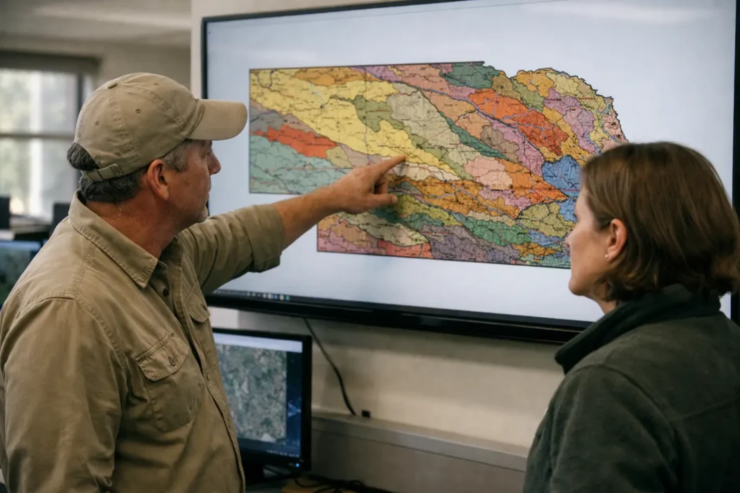
New statewide surface geologic mapping has been produced for Nebraska, the result of an academic paper authored by Paul Hanson and Matthew Joeckel of the Conservation and Survey Division in the University of Nebraska–Lincoln School of Natural Resources. The paper highlights a key phrase—”new linework”—that denotes a comprehensive revision of the digital boundaries and contacts that define the state’s surface geology.
The map presents a unified digital depiction of surface units across the state, replacing the patchwork of older maps and disparate datasets. By standardizing contacts, unit extents and other mapping elements, the updated linework creates a common spatial framework for studies in geology, groundwater assessment, engineering and land-use planning. The consolidation of these elements into a statewide dataset facilitates consistent spatial analysis and simplifies integration into geographic information systems.
The paper documents the methods used to compile and harmonize the new linework and situates the dataset within academic and applied contexts. While concise in phrasing, the description of revised linework signals attention to digital cartographic standards and cross-jurisdictional coordination. That methodological transparency supports reproducibility in subsequent research and enables other users to apply the dataset to state-scale questions without reconciling incompatible source maps.
As a scholarly contribution, the work offers a baseline resource for researchers, planners and practitioners working on geological and environmental issues in Nebraska and neighboring regions. For institutional context and additional information, the authors are affiliated with the University of Nebraska–Lincoln, where the Conservation and Survey Division conducts state-focused mapping and survey activities. The paper and the described linework establish a new, coherent reference for surface geological information across the state.
