



Eight decades after a powerful tsunami swept across the North Pacific in 1946, a research team from Michigan State University is launching a focused investigation of the underwater fault system that generated the event. The initiative aims to clarify how that fault behaved in 1946 and whether its geology still represents a present-day threat to coastal communities from Alaska to the U.S. West Coast and Hawaii.
The 1946 disaster began with an earthquake off the coast of Alaska and produced waves that caused devastation in parts of Hawaii, as well as damage along the shores of Washington and Oregon. That episode remains a touchstone in American tsunami history and a driver for improvements in monitoring and warning systems across the Pacific. Renewed study of the source fault reflects both advances in marine geoscience and continuing interest in refining long-term hazard assessments for the region.
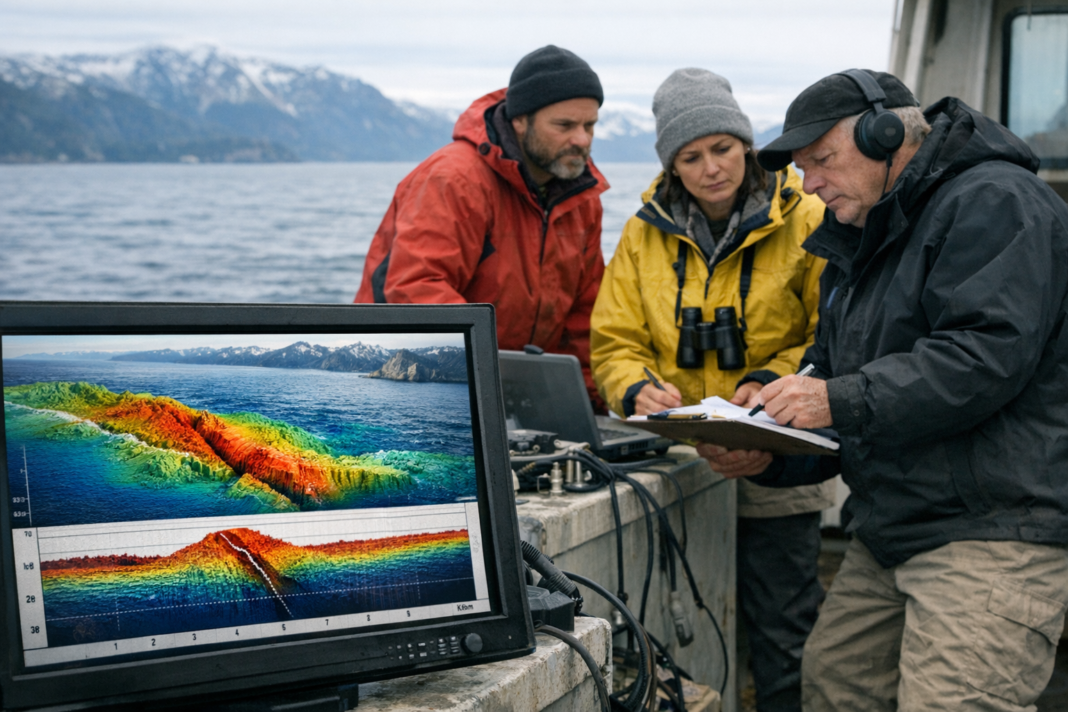
The Michigan State team intends to combine updated seafloor mapping, seismic data analysis and modern modeling approaches to reconstruct the 1946 rupture and assess current fault stability. By integrating historical records with contemporary observations, researchers will evaluate whether the fault geometry and stress conditions could again produce large seafloor displacement and transoceanic waves. The project’s findings are expected to feed into numerical hazard models used by scientists and planners to estimate inundation and to guide preparedness measures.
Outcomes from this work could influence risk estimates for communities dependent on accurate tsunami forecasts and for agencies that design coastal defenses and evacuation strategies. While the investigation focuses on a single source region, it highlights a broader need for ongoing monitoring of undersea faults and improved seismic and oceanographic datasets. The research also aims to bridge historical events and modern science to better inform emergency management across the Pacific margin following major earthquake and tsunami scenarios.
