



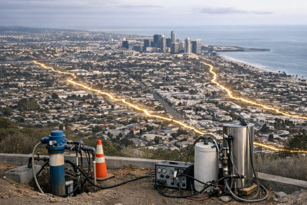
Many coastal cities are sinking because intensive extraction has drained the aquifers that help support their ground. New research shows that when those underground reservoirs recover, surface elevations can rise again — but the uplift is often uneven, controlled by underground structures such as faults. The findings reshape how planners might weigh groundwater management alongside other measures to protect coastal cities from rising seas.
The link between pumping and subsidence is well established: withdrawing water compacts sediments and lowers groundwater levels, bringing shorelines closer to the present sea. In severe cases parts of a city can drop by metres; Jakarta has recorded local declines exceeding ten centimetres a year, and subsidence hotspots such as Tianjin pose growing risks for millions of residents. Recent analyses also point to widespread coastal lowering in places like Aotearoa New Zealand. Reduced extraction and aquifer recharge are regularly proposed to slow subsidence, but evidence of how quickly—and where—land can rebound has been scarce.
Osaka provided a rare long-term test case. Heavy pumping between the 1920s and 1960s lowered groundwater by up to 30 metres and produced metres of subsidence, prompting strict controls in the early 1960s. Researchers combined records from 44 monitoring wells, some extending hundreds of metres below ground and with data back to 1985, with satellite measurements of surface change using InSAR. Across the metropolitan area the ground is now rising — on average about 4 mm per year and locally up to 12 mm per year — while groundwater levels have been recovering by as much as a metre a year. Crucially, uplift was highly patchy and aligned with mapped fault corridors, including contrasts across the Uemachi Fault.
Investigators interpret those contrasts as the result of faults acting like subterranean dams: some fault zones impede lateral flow, allowing water to accumulate on one side and drive faster elastic rebound there, while the opposite side lags. The pattern implies that geological structure must be considered when planning recovery and recharge efforts, because benefits will not be evenly distributed across an urban area.
For cities facing both sea-level rise and long histories of groundwater depletion, the study highlights two practical necessities: long-term well records and high-resolution surface monitoring to detect uneven recovery, and the integration of local geology into adaptation strategies. Where subsidence has been driven by aquifer drawdown, controlled recovery could be a tangible tool to reduce future coastal exposure, but its effectiveness will depend on site-specific conditions and detailed observation.